Suncoast weekend lows hit 50s after Friday cold front
A shift in wind and temperature arrives Thursday, ending a week of calm marine conditions for boaters.
By Matthew Qureshi ·
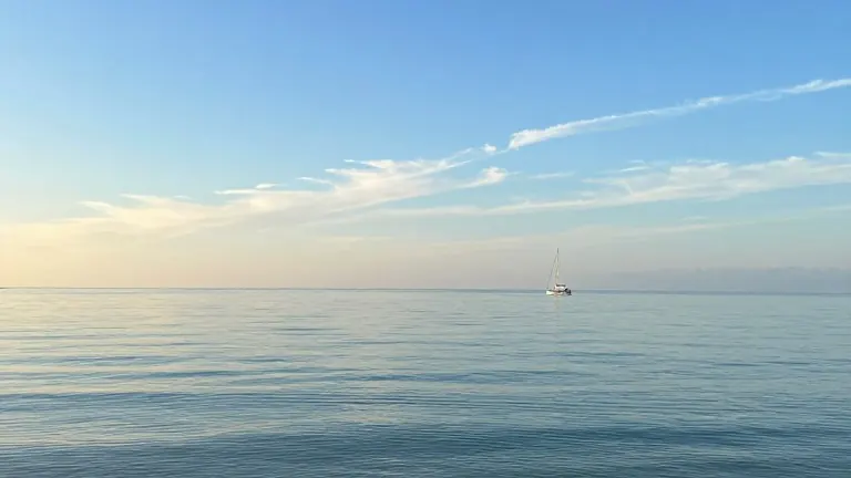
The Suncoast weather pattern holds steady through midweek before a sharp turn arrives with the weekend. The forecast for the week ending November 9 indicates a transition from mild, dry conditions to colder temperatures following the passage of a cold front.
The first half of the week offers stable conditions for outdoor activity. Monday begins with sunshine and light northeast winds that shift to the northwest by afternoon. Tuesday follows with increased cloud cover, but winds remain light enough to avoid interfering with plans. Wednesday introduces the first moisture, with the possibility of an isolated shower on Veteran’s Day as systems begin to affect the region.
The primary change occurs late Thursday and continues into Friday. A cold front pushes through the area during this window, bringing a line of mainly scattered light showers. Friday morning carries a chance of isolated rain. Winds pick up after the front passes, with gusts reaching approximately 20 mph. The arrival of this air mass marks the end of the week's mild temperatures.
Weekend lows will drop to the 50s. This represents a notable cooling period following the earlier days of the week. The National Hurricane Center reports no expectation for tropical cyclone formation over the next seven days across the Atlantic, Caribbean Sea, or the Gulf. This allows the cold front to be the dominant weather feature without interference from tropical systems.
Marine conditions change abruptly on Thursday. Boaters experience a smooth stretch through Wednesday, with light winds and calm seas under 1 foot. Thursday brings westerly winds that ramp up to 15 to 20 knots. Seas build to 2 to 4 feet, occasionally reaching 5 feet. The bays turn choppy, and scattered showers move in, making conditions rougher for small craft.
Monday provides ideal conditions for beachgoers and athletes. Skies are mostly sunny, and surf remains minimal at 1 foot or less. Rip current risk is low. Northeast winds range from 5 to 10 mph before transitioning to the northwest. The UV Index is High, indicating that unprotected skin can burn in 30 minutes. These conditions suit tennis, pickleball, and golf without wind interference.
Tuesday maintains calm water conditions for boaters. East winds at 5 to 10 knots swing to the south by afternoon. Seas remain under 1 foot with light chop in protected waters. Wednesday starts with light easterly winds around 5 knots that turn west in the afternoon. Seas stay under 1 foot, and bays remain smooth, though isolated showers and thunderstorms may develop in the afternoon.