Florida Weekend Weather: Dry Halloween, Stormy Sunday
Residents can plan outdoor activities for Saturday night, but heavy rain and potential flooding are expected to sweep through the state on Sunday.
By Aiko Brooks ·
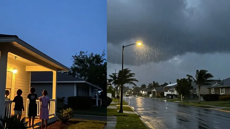
Most Floridians can head out for trick-or-treating on Saturday night without rain gear, but the window for dry weather closes sharply by Sunday afternoon. The National Weather Service predicts a shift from a mild, largely dry Halloween to a wet and unsettled day with widespread thunderstorms and heavy rainfall. This split in conditions forces outdoor planners to act quickly, as the best weather occurs on the earlier day of the two.
Saturday offers the clearest conditions across the state. In Central and North Florida, skies will mix clouds with sunshine, and temperatures will reach the lower to mid-80s. While isolated showers may appear along the Atlantic coast, widespread rain is not expected during the evening hours. South Florida will remain warm and humid, with highs in the lower to mid-80s and only a passing chance of brief showers. Inland areas in the north, including Gainesville and Ocala, will see temperatures in the lower 80s, providing comfortable conditions for local events.
The atmosphere turns by Sunday as a developing system pushes moisture into the state. Rain chances will climb to between 60% and 80% in parts of Central Florida, bringing widespread showers and embedded thunderstorms. The greatest concern for heavy precipitation lies in Central and South Florida, where repeated rounds of rain could lead to localized flooding. The National Weather Service notes that residents should avoid driving through flooded roads as the weather intensifies.
Precipitation totals vary by region. South Florida could see 1 to 3 inches of rain through Monday, with locally higher amounts possible near the Atlantic coast. In the Panhandle, rain chances range from 30% to 60%, with totals of a quarter to half an inch expected, and up to an inch in isolated spots. Temperatures in the Panhandle will cool to the mid-to-upper 70s on Sunday as cloud cover increases.
Coastal hazards remain active throughout the weekend. Gusty easterly winds will create rough surf and dangerous rip currents along the Atlantic beaches. Coastal flooding is a specific concern in vulnerable neighborhoods of Miami-Dade and Broward counties, particularly around high tide. Boaters in the Panhandle should exercise caution due to persistent winds and rough marine conditions, even though widespread severe weather is not currently anticipated.
Daylight saving time ends at 2 a.m. on Sunday, November 1. Clocks will turn back one hour, providing an additional hour of sleep and causing sunsets to occur earlier as the state enters November.