Cold Front Brings First Frost to Alabama Gulf Coast
Highs drop to the mid-60s Friday as overnight lows hit the mid-30s, creating freeze conditions north of Highway 84.
By Aiko Brooks ·
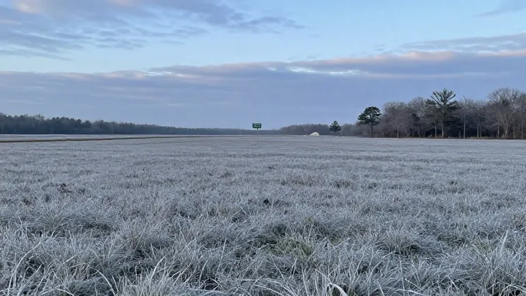
The Gulf Coast faces its first freeze of the season this weekend.
Meteorologists forecast a sharp drop in temperatures beginning Friday. Daytime highs will fall to the middle 60s. Overnight lows will reach the mid-30s, marking the coldest temperatures recorded this fall. A light freeze is possible in far inland locations north of Highway 84.
The shift follows a week of typical autumn weather. Mornings through Thursday will stay cool between 50 and 55 degrees. Afternoons will warm to the mid and upper 70s. Inland areas will feel slightly colder than coastal zones. Clouds may pass through the sky, but rain remains unlikely. The lower atmosphere will stay dry, keeping precipitation out of the forecast through the extended period.
Saturday continues the cold trend. Highs will sit in the low 60s. Overnight lows will return to the 30s. Patchy frost is possible in inland areas, particularly where winds are light. Dry conditions will persist into early next week. An isolated shower is the only potential precipitation event by Monday.
WALA-TV provides the forecast for the Mobile area. The channel advises residents to monitor their weather applications for the latest updates. FOX10 News will also track the changing conditions.
The pattern represents a classic fall transition on the Gulf Coast. The cold front drives the temperature drop. Residents in northern Alabama should prepare for the first freeze.